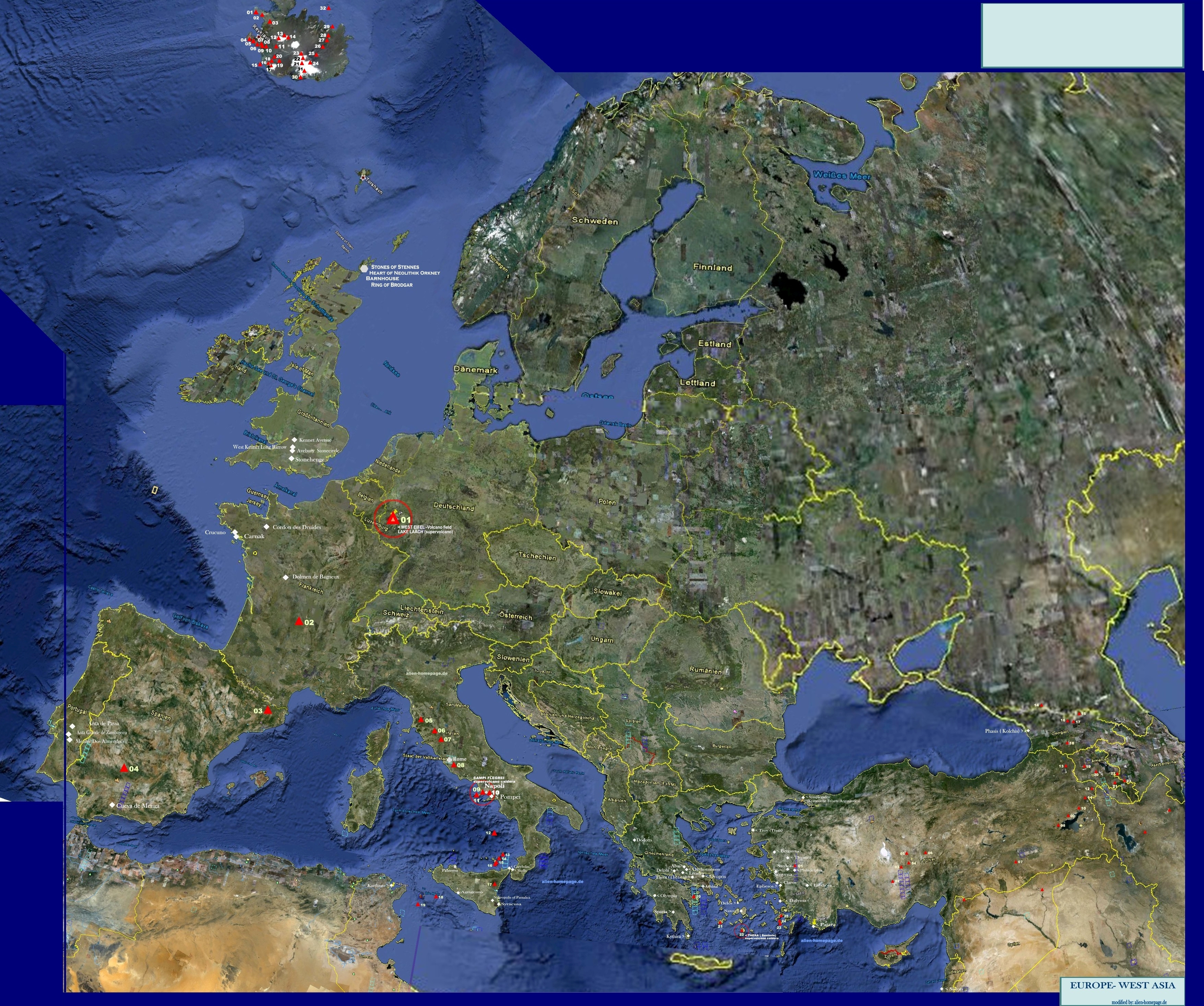
Index historical sites of SOUTHERN EUROPE: ITALY, GREECE, WESTERN ASIA
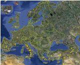
GREECE ( HELLAS)
Orakel sites
nr name and link to wikipedia place geographical position
estimated age
cultural reference literaric reference
short description
internal links other sources
01
Delphi GR/ Korinth-
38° 28′ 53″ N, 22° 29′ 59″ O unknown
Hellas
Pythia , the priestess of Apollo-Herodotus[28] Histories 2:54–57)
Delphic Sibyl
Delphi
02
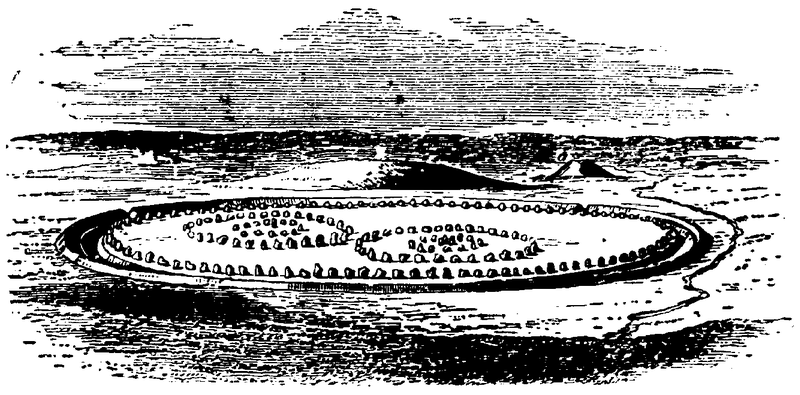
Dodona GR/ Epirus
39° 32′ 47″ N, 20° 47′ 16″ O 4000 BC
Hellas
Dodona
03
Livadia Korinth/ Parnass
38° 26′ N, 22° 52′ O unknown
Hellas
----
---------
Livadia (Orakel)
04
Abai GR/ Phokis
38° 35′ 0″ N, 22° 56′ 0″ O unknown
Hellas
named after Abas , King of Argos
---------
Abai
05
Oropos GR/ Attica
38° 18′ N, 23° 45′ O unknown
Hellas
Graea ---------
Oropos
06
Claros Asia minor ( today: W- Turkey)
38° 0′ 18″ N, 27° 11′ 35″ O unknown
Hellas
-----
Apollon Sybil
Claros ( Orakel- Sybil)
07
Didyma Asia minor ( today: W- Turkey)
37° 23′ 6″ N, 27° 15′ 23″ O unknown
Hellas
Herodot (1,157) und Pausanias (7,26)
Didyma ( Sybil)
08
Patara Asia minor ( today: W- Turkey)
36° 16′ N, 29° 19′ O unknown
Apollon Patroos
Sybil near to thedelta of the river Xanthos
Patara
09
Ammonion Today Egypt
29° 11′ N, 25° 33′ O 1500 BC
Egypt ( not on this map)
Sybil of the Egypt god Amun
Siwa Oasis
Famous mythological sites:
nr name and link to wikipedia place geographical position
estimated age- time of foundation
cultural reference literaric reference
short description
internal links other sources
Athens ( gr. Athina)
37° 59′ N, 23° 44′ O (at least) 3000 BC
Hellas
Platon> Timaios
Pallas Athena
Athen
Thiva ( Theben of Hellas )
Thiva ( Theben)
Orchomenos Boeotia 38° 30′ N, 22° 59′ O
Due to R.G Temple, (" Sirius mystery) Orchomenos had importance first as a mythological place of a sybil dedicated to Apoll. The name and people of Orchomenos again play a rolein the Herakles sage and the Argonautica. As a town , Orchomenos was involved in the war of Troy.
Orchomenios wird in der Mythologie mehrere Bedeutungen im Zusammenhang mit dem Krieg von Troja, aber auch der Argonautensage oder der Dionysos sage. Nach R.G Temple ( Sirius mystery) soll O. schohn von Alters her ein alter Kultplatz und ein Orakelort gewesen sein
Orchomenos
Olympia Peloponnes 37° 38′ 18″ N, 21° 37′ 51″ O 1.100 BC ( cultural site)
Hellas
-1. old Greece sanctuary of the Olympic gods. 2. Later site for the ancient Olympic games
Olympia
Sparta Pe*/ Lakonien 37° 4′ N, 22° 26′ O
Homer > Menelaos
ABOUT SPARTA: Homer names Sparta as the court of the legendary king Menelaos.which indicates that Sparta would probably have the frist or one of the oldest and most important kingdom of The Peloponnesos.
Traditionally, Sparta was beieved to be reserved for the Herkalides- the heirs of Herakles. Sparta oftently opposed Hellenic rulers resp tyrants and was a protector of the Olympic games. Spartas wellknown legendary reputation as a place of high cultivated warfare resultet rather from this old tradition than form any influence from outside .
Sparta
diverse>
Symplegades- Kyaneische Felsen (Argonautica)
Western Asia ( todays Turkey):
Phasis ( today: Poti in Georgia)Kolchis 42° 9′ N, 41° 40′ O unknown
Egypt/ Persia
Apollodorus / Argonautica`
Herodot (Historien IV, 37)
Chrysomeles
Aietes
Chalkiope
about: PHRIXOS- HELLE, JASON & THE ARGONAUTS AND THE GOLDEN FLEECE> The sage of Jason and the Argonauts is one the one side perharps one of the eldest and most meaningful stories in Mythology. On the other site, new "scientists" want to settle the stories all into more - "Biblic" times- just by picking up some simple facts like the existence of gold mining those did never change through the Milleniums. The story of Jason and the Argounauts however begins with Hella and Phrixos, who escape from their mother in law . king Athama second wife Ino and the people of his country going to kill resp sacrifice him. Before that could happen,both were rescued a flying Aries with a golden fleeece, sent by their real mother Nephele . On their way, Helle looses balance and falls into the sea on the place which is since then named the " Hellespont". The flying Aries however carries Phrixos to Kolchis, where he finds Asylum at King Aeites and later marries the king`s doughter Chalkiope. As thank to the gods, Phrixos sacrifies the fleece of the golden Aries in the garden or the warlord Aries in Kolchis, where it is guarded day and night by a dragon that never sleeps. The argonautica g begins, when much later Jason the son of Aison, gets form his uncle Peliqas the order to stelle the golden fleece out of Ares? garden in Kolchis> see also, internal links the ages of men " written by alien homepage.de
Argonautica ( wikipedia)
Phasis ( today_ Poti)
Troy / Troja
todays Turkey
39° 57′ 26″ N, 26° 14′ 19″ O unknown
Aphrodite / Hephaistos Homer - Ilias
ABOUT TROY, ITS DISCOVERY AND THE TROYAN WAR >>-Everybody seems to know the story about the war on Troy, since the movie by Pe terson was in the cinemas. What Peterson resp the screenplay did not mention , was the more ore less mythological background of this war, in which the fate seemed to decide, who is gonna win or die. Most important to know, is that the legal king of Troy - Anchises- who became during its occupation by Aphrodite herself father of Aenaias- was in exile, hiding himself away as a shepherd in the mountains ,while the family of Priamos had taken power over Troy against the gods determined law and will. It is undoubted, that the abduction of Menelaos wife Helena caused the Hellas kings around Menelaos to brake up to Troy make an ultimatum and finally to attack the city. But by the entire story and its outcome the surrender of Troy rather appears as a fatal consequence of multiple crimes and broken laws mainly to take power over the city.
The story of Troy begins however as nusual as its end. Homer writes, Troy was a stronghold of city planned by the gods themselves and built by giants and Zyklopes with walls that no human being ever could ever conquer or destroy at that time. Mor than 20 years, The army of Hellas tried to conquer the town . (Odysseus could finally conquer the city deceiving its greedy king an waiters by the famous trick list with the Troyan horse). Its was not only dedicated to Aphrodite and Hephaistos, its was their city , their piece of the world , they had chosen when the Earth was distributed among the Titans. And all the first kings of the gods cities were children of the gods who owned the city or halfgods. The law was, that the power over these cities had to remain within that godly bloodline . And Priamos and the ones who had brought Primaos to power, while forcing Anchises to flee , had made an offense against that law . Read more in Homers Illiade-
Heinrich Schlieman is widely believed to have discovered ancient Troy. all these old strongholds and undestroyable seeming cities were most probably destroyed by huge global Earthquake around 5000 BC followed by the great flood from the land of Sint ( sint flood). However - the ancient city , Schliemann found was rebuilt several times. Schliemann found 7 layers of seven old cities built above each other . What some doubt is whether he did not in real excavate the city of Dardanos which is described by Homer as being halfway between Troy and the landing place wehere the armies of the Hellenics kanded, went on land, and had tjheir main camp during the war. . Dardanos is also name giver of the islands of the Dardanelles. If this would prove to be true, the questions whether and where Troy really existed would have to be asked again.
written by alien-homepage.de
Troja